
This weekend’s wintry mix could make roads and sidewalks hazardous
Meteorologist Joe Calderone of the National Weather Service drew in a breath as he considered the weekend’s forecast.
“OK, this is going to be a long conversation,” said Calderone on Thursday.
Uh-oh.
We’ll sum up our chat for you: The ice from this weekend’s predicted wintry mix could make travel hazardous and sidewalks slippery.
“Exactly,” Calderone said.
Be careful out there, please, if you are out and about on holiday errands and activities, from stringing lights in your yard to hitting the roads. This warning includes not only the Twin Cities, but south to the Iowa border and points east as well.
For up-to-the-minute road conditions from the Minnesota Department of Transportation, including views from traffic cameras and plows, log onto 511mn.org.
Now, let’s talk cold.
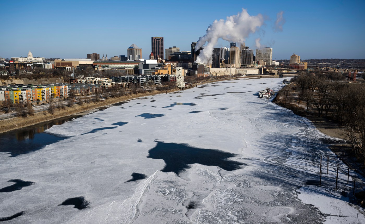
Wednesday, as you might recall, was chilly — really chilly, especially at 11:59 p.m., when we hit a milestone not many Minnesotans enjoy reaching.
“Wednesday’s low of -5 was the first official zero (or lower) low of the season for MSP (the Minneapolis-St. Paul International Airport),” Calderone said.
It wasn’t much warmer on Thursday, with a high of 6 degrees in the metro (with the low still incoming as we write this sentence).
Related Articles
Ramsey County selects Maria Sarabia as chief of staff
Community Thread in Stillwater names new executive director
Longtime Woodbury city administrator will retire next summer
St. Paul City Council rejects mayor’s budget compromise, holds tax levy to 5.9%
Luigi Mangione notebook details plan to kill UnitedHealthcare CEO Brian Thompson
Friday will be comparatively warmer, with temperatures rising into the teens as clouds increase and a storm system approaches.
“It will be a wintry mix,” Calderone says. “It will start before sunrise (Saturday) as a sleet/snow mix, transitioning to freezing rain right around sunrise. Then, around noon on Saturday, it will transition back to mostly snow, with precipitation ending Saturday afternoon into the evening.”
And accumulation?
“Less than an inch, maybe half an inch,” says Calderone. “The bigger issue is the ice. … It will become a travel hazard, for sure.”
The weather will calm down for the latter half of the weekend.
“The system moves out by Saturday night,” Calderone says. “It’ll be mostly cloudy on Sunday, with highs into the mid 30s.”


More Stories
Monzo founder Blomfield joins Anthropic as AI talent war escalates
Tom Blomfield, the entrepreneur who built Monzo into Britain’s best-known digital bank, has been hired by Anthropic, the artificial intelligence...
Scrap National Insurance and the 45p rate, think tank tells Burnham
Andy Burnham should abolish national insurance, stamp duty, inheritance tax and the 45p top rate of income tax if he...
Scrap green levies to cut energy bills by a fifth, Burnham told
Andy Burnham will walk into Downing Street next week with an in-tray already overflowing, but business has told him exactly...
Western banks sue German firm over Russia pullout – FT
Deutsche Bank and UniCredit reportedly seek to recover hundreds of millions of euros after a Gazprom-linked gas project was scrapped...
Burnham will not ‘tax the hell out of you’, says Jim O’Neill
Business owners bracing for a Burnham premiership have been offered a rare note of reassurance from one of the City’s...
Banker who bought Northern Rock named to lead audit watchdog
The banker who bought Northern Rock and turned Virgin Money into a high-street challenger is the government’s choice to run...