
Massachusetts could see fire weather concerns, snowflakes possible: ‘Would not be surprised’
After some wet weather, the combo of dry and blustery conditions could spark fire weather concerns across the region.
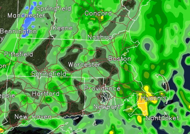
The National Weather Service’s Boston office was warning of elevated fire weather potential from Sunday through Tuesday due to gusty winds and a dry environment.
“Monday and Tuesday probably have the greatest risk,” Frank Nocera, meteorologist at the National Weather Service’s Boston office, told the Herald. “Some rain Saturday evening could dampen things enough for Sunday.
“The ground and soil will have a chance to dry out for a more elevated fire risk on Monday and Tuesday,” he added.
The higher fire risk is common for early spring before plants are in full bloom.
“Everything is dead from winter,” the meteorologist said. “So it burns a lot easier when it’s brown.”
It’s important for people to use extra caution with fire pits and other fire activities, he added.
Ahead of those elevated fire weather conditions, overnight rain showers were expected to linger into Saturday morning. Then as the showers end late in the morning, it should turn into a nice start to the weekend.
“It will be sunny and pretty pleasant,” Nocera said.
The bulk of the afternoon will be dry with temps in the 60s. There could be a few lingering showers tapering off late on Saturday.
Related Articles
Boston Marathon weather forecast looks a bit warm, sunny: ‘Proper hydration is key’
Can’t get enough of the total solar eclipse or got clouded out? Here are the next ones to watch for
Eyes glued to the sky: Solar eclipse wows Massachusetts, New England
Watch live: 2024 total solar eclipse
Total solar eclipse races across North America as clouds part along totality
Then temps on Sunday should tick down a bit into the upper 50s. Similar dry and quiet conditions are expected on Monday and Tuesday.
“Given the 20-30 mph gusts there could be elevated fire weather concerns,” reads the National Weather Service’s forecast discussion.
Then the next opportunity for unsettled wet weather will be late Tuesday into Wednesday as a cold frontal system swings through New England.
It should remain mild as the system is swinging through, so precipitation is expected to be all rain.
“However, as things are winding down much colder air filters in late Wed into early Thu.,” reads the National Weather Service forecast discussion. “Would not be surprised if there are some snowflakes mixing in.”
It’s nothing significant, Nocera said.
He added about the possible snowflakes, “That’s spring in New England.”
Medford’s brother and sister Valentina and Emilio Gallegos admire yellow tulips at Boston Public Garden. (Libby O’Neill/Boston Herald)
A woman watches a Swan Boat float along at Boston Public Garden. (Libby O’Neill/Boston Herald)


More Stories
Meta accused of profiting from scams targeting US retirees
Advocacy groups have urged Congress to investigate claims that the tech giant benefited from fraudulent campaigns aimed at seniors Several...
Coverd and Albert Wang: Why the Next Chapter of Credit Card Rewards May Be Written Around Everyday Spending
The modern loyalty program occupies a curious place on corporate balance sheets, recorded as a liability that many issuers quietly...
What to Expect from UK Software Development Firms
In all industries, companies are making efforts to adopt digital solutions, automate processes, migrate to the cloud, and operate with...
Austen Hacker: From Concert Pianist to Pharmacy Leader
Success does not always follow a straight line, for Austen Hacker, the path to leadership in pharmacy began behind a...
Jonny Dodge: The Superyacht Influencer and Questions Over Mother City Capital
He has been called the “Superyacht Influencer” by Forbes, featured in Bloomberg, GQ, Tatler and Robb Report, and commands a...
6 Steps to Prepare for Making Tax Digital for Income Tax
Making Tax Digital (MTD) was first introduced by HM Revenue and Customs as part of a wider plan to modernise...