Massachusetts storm watch: Boston records fourth-highest high tide, snow squalls likely Sunday
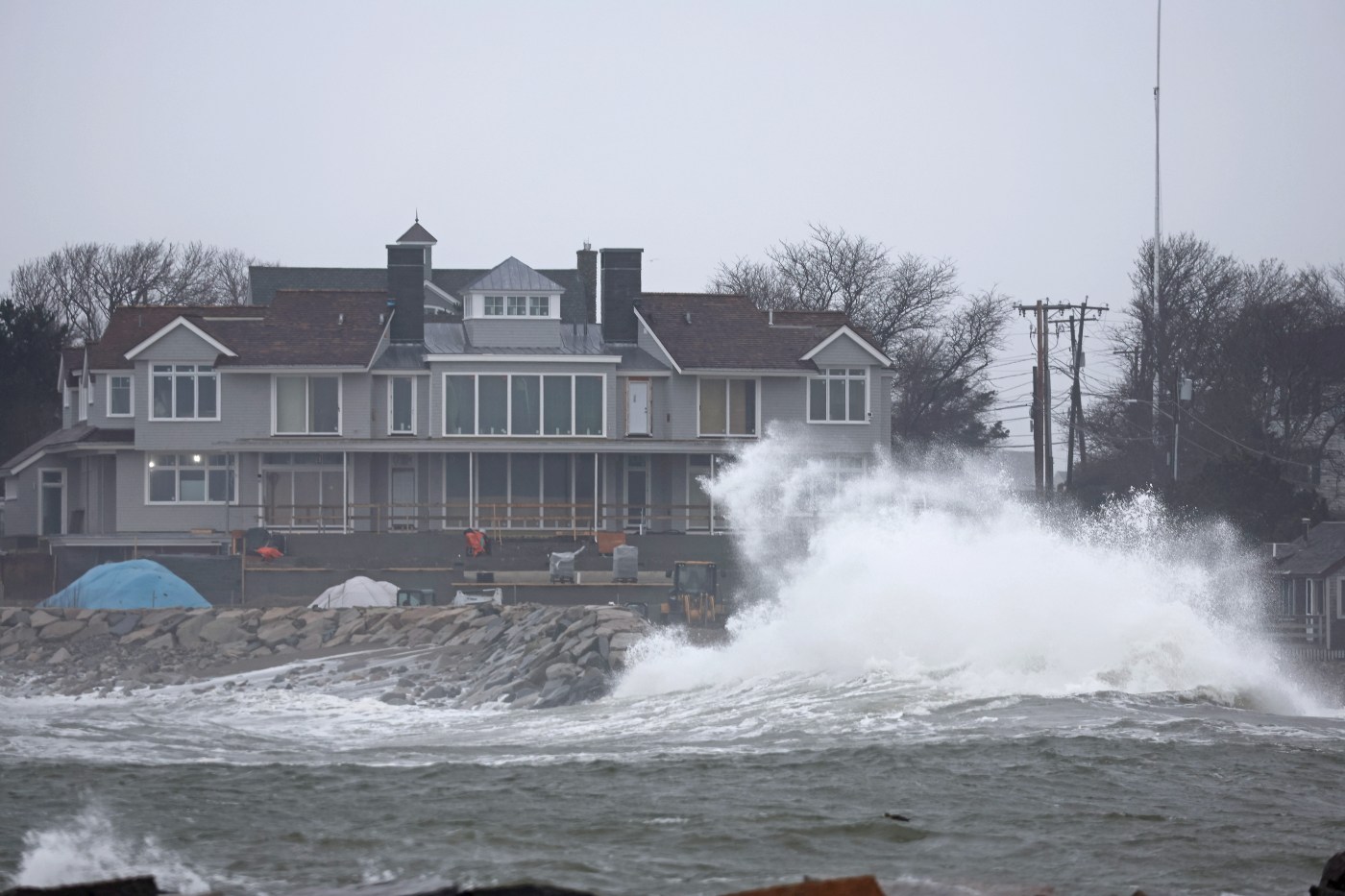
Massive high tides from a strong storm surge early Saturday battered the region, leading to a wet and wild day, one that will go down in the Boston record books
The high tide on the Boston Harbor ballooned up to 14.4 feet, the fourth highest level ever recorded in the city, according to a national tide gauge. The level puts Boston in a moderate flood, closing in on a major flood stage of 15 feet.
Many roads across the city drowned in the water, including major thoroughfare Morrissey Boulevard closing down in Dorchester around noon until further notice. The coastal floods caused hazardous travel conditions, even with rain letting up by late morning and the sun popping out at points in the afternoon.
The highest tide crest in Boston’s history came on Jan. 4, 2018 at 15.16 feet during a major snowstorm, according to the national tide gauge. The last time the city had flooding above 14 feet was March 2, 2018 at 14.67 feet.
Kyle Pederson, a meteorologist at the National Weather Service Boston office, called Saturday’s tide level impressive because it came during offshore winds which are “typically unfavorable” for anything significant, he said.
“It’s pretty impressive with a southwestern wind,” Pederson told the Herald Saturday evening. “Normally when you get that high you have a strong Nor’easter coming, you have an east or northeast wind in Boston.”
“It’s a combination of two things,” he continued, “the astronomical tides are peaking right now and the big, strong low pressure system that brought all of the rain. That low pressure causes sea levels to rise because there’s a lot of air pushed down on the sea.”
Along with the heavy rain and gusty winds, offshore waves got as high as 12 to 15 feet which also contributed to the high water levels in the region, Pederson said.
Many rivers in eastern Massachusetts and Rhode Island are “well above flood stage” after three strong storms within the past week, Pederson said. He expects the bodies of water to stay above minor flood stage in the next week, especially the bigger ones.
“If we had another rain event in a couple days, it would just continue the rivers staying in floods,” Pederson said. “Luckily, it looks like it’s going to dry out for the most part. We shouldn’t see any major rains in the next week.”
The region was an outlier to icy winter weather that blanketed much of the country on Saturday as a wave of Arctic storms threatened to break low-temperature records in the heartland, spread cold and snow from coast to coast and cast a chill over everything from football playoffs to presidential campaigns.
Temps soared into the high 50s in some cities and towns, including Boston, but they will be taking a nosedive in the coming days, with an extended period of below normal temps most of next week, according to the NWS.
Snow will be kept offshore Tuesday night into Wednesday, and meteorologists are not expecting an event from it, Pederson said. He urged drivers to take caution on Sunday with snow squalls likely across interior Massachusetts.
“For people traveling in the afternoon and evening, they’re going to want to keep a close eye on the radar and also their alerts,” Pederson said. “You don’t want to get caught in a snow squall especially driving on the highway. A snow squall is a heavy burst of snow and wind that basically causes whiteout conditions for like 20 to 30 minutes.”
The Associated Press contributed to this report.
Cars are stranded in Squantum during high tide. (Matt Stone/Boston Herald)
George Onasanya, of BSC engineering and land surveying strolls thru the flooded Cole Parkway after taking measurements as high tides from a storm surge batter the area on Saturday. (Staff Photo By Stuart Cahill/Boston Herald)
Ryan Stone walks along the sea wall in Squantum as high tide floods the area. (Matt Stone/Boston Herald)
A woman holds her infant as tidal waters flood her neighborhood street in Squantum. (Matt Stone/Boston Herald)


