
Boston Weather: Tuesday snow storm to hit Massachusetts region, coldest temperatures of the season coming
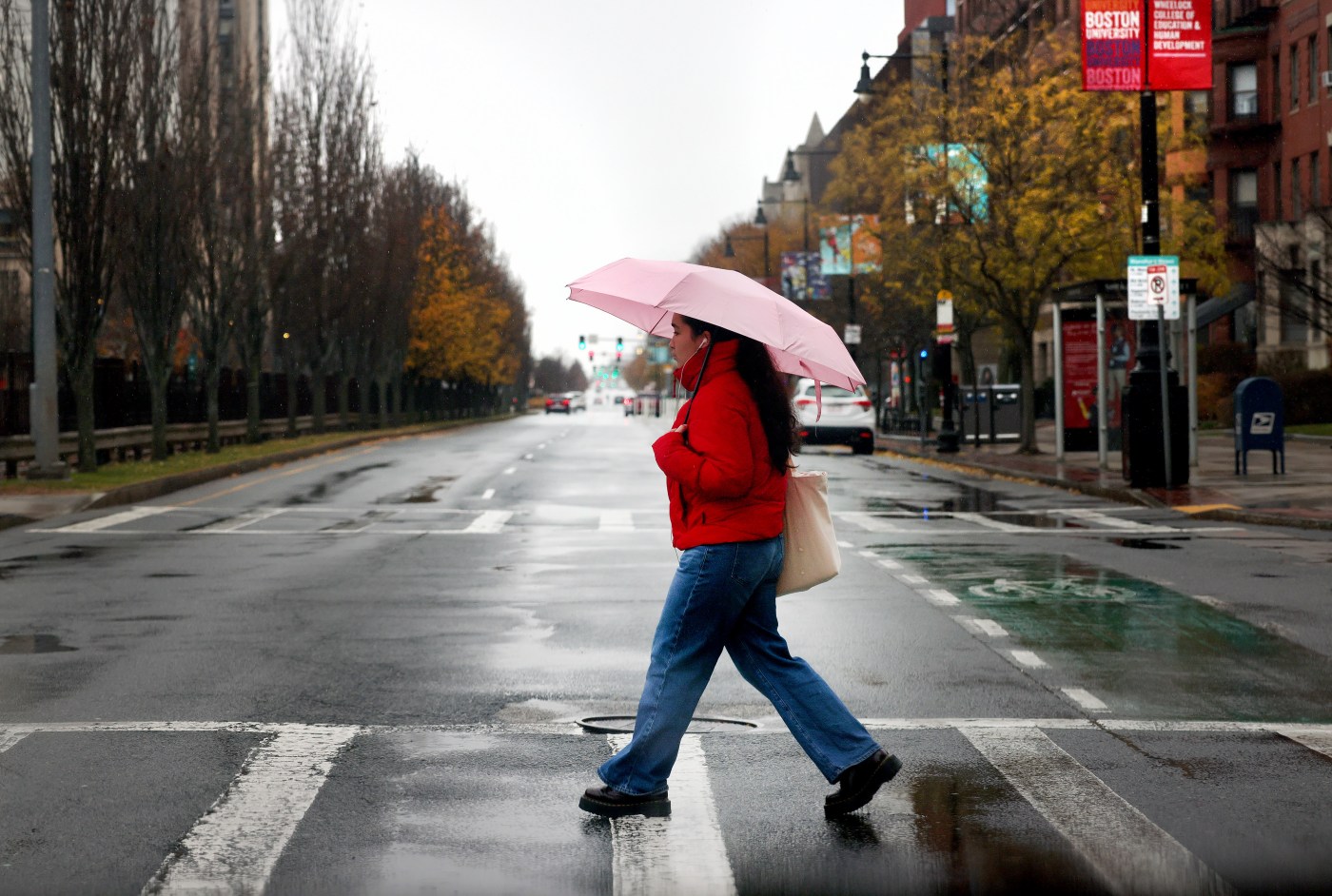
Some parts of Massachusetts are expected to see a heavy snow storm starting on Tuesday, according to National Weather Service forecasts — with some rain and snow hitting the Boston area.
“The big thing is going to be a low pressure coming by, mainly late Monday night to Tuesday,” said NWS meteorologist Matthew Belk. “That’s going to bring a possibility of some light snow changing over to rain in the city of Boston.
The week is forecasted to start with a sunny day Monday and highs in the low 40s in Boston, before the storm moves into the region on Tuesday, NWS states.
NWS issued a winter storm watch covering Tuesday morning to night for western and central Massachusetts, along with a swath of southern New England, warning of “heavy snow” with accumulations over 6 inches in some areas.
NWS forecasters warned of “interior snow and mixed rain/snow near the coastline,” with the best chance for heavy snow north of the Mass Pike and west of I-495, though the storm track remained uncertain Sunday.
Travel may be “very difficult” due to the storm, NWS states, with hazardous conditions impacting the morning and evening commutes.
The current NWS storm watch does not dip into Boston, coming as far east as Worcester, Middlesex and Essex counties.
“There’s a lot of uncertainty with the storm track,” said Belk. “This is the most likely scenario right now. There are some other possibilities where the storm tracks a little farther south, which would bring the heavier snow closer to Boston.”
In the Boston area, current forecasts show likely snow Tuesday morning becoming rain during the daytime. Tuesday is expected to reach a high in the low 40s.
Headed into Tuesday night, the Boston region is expected to see more snow and gustier winds according to forecasts. NWS forecasts little or no snow accumulation during the night.
“Once we get past the storm, then it’s pretty quiet Wednesday through Friday, although turning much colder,” Belk said. “The coldest air will have seen so far this season.”
Wednesday, the high is expected to drop to a high in the upper 30s and a low in the upper 20s, with mostly clear skies, forecasts show. Thursday may also see a high in the upper 30s, with chilly wind gusts reaching 22 mph.
The gusty weather is forecasted to continue Thursday night, as the low drops near to a freezing 12 degrees, NWS states.
Related Articles
A tornado damages homes near Houston as rain falls in the South and snow comes down in the Midwest
Boston Weather: Chilly, sunny Thanksgiving upcoming, no travel impacts forecast
Boston Weather: Sunny skies, strong winds forecasted in coming week
With one touch, they vanish. Meet the delicate, icy wonders called frost flowers
New Englanders treated to rare show of northern lights
Temperatures may climb back into the upper 20s Friday, NWS forecasts, with another low chance of snow returning that night.
“The main thing is to stay warm and get indoors, if you can,” said Belk. “We’re looking at low temperatures in the greater Boston area anywhere from the single digits to 15 degrees above zero, Thursday night, Friday morning. And then highs will struggle to reach freezing during the day.”


More Stories
Corruption suspected at Ukrainian shipping giant – media
The Ukrainian Danube Shipping Company has been plagued by failures that cannot be linked to “external” factors, a leaked letter...
Heathrow travel confidence hit as Middle East conflict and rising air fares reshape passenger demand
The latest 1ST Airport Taxis Travel Confidence Index suggests the conflict in the Middle East, coupled with rising airline ticket...
Zuber Issa snaps up 85 Prax forecourts in dash to rebuild fuel empire
Zuber Issa has agreed to buy 85 petrol stations from the collapsed Prax Group, taking his three-year-old EG On The...
John Lewis calls time on currency desks, putting 200 jobs at risk
Around 200 jobs are at risk at John Lewis as the retailer prepares to close its in-store foreign exchange desks...
Gas prices leap 5% as Trump declares Iran ceasefire ‘over’
British businesses are staring at another energy cost shock after wholesale gas prices jumped around 5 per cent, triggered by...
3 Best Packaging for Ecommerce Brands in 2027: Sustainable Boxes & Mailers Compared
Picture 2027: your customer lifts a perfectly sized, plastic-free box from the porch, scans a QR code, and shares the...