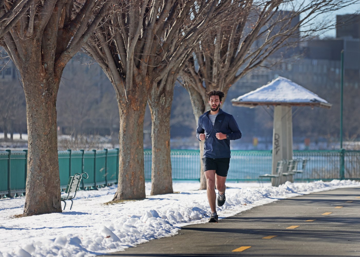
Boston to finish out ‘140 hours below freezing,’ return to more moderate temperatures
After a cold, stormy week, the Boston region may be headed for warmer — if still rainy and snowy — days, according to National Weather Service forecasts.
“On Monday, Tuesday and Wednesday, our temperatures are going to start to moderate more near seasonable temperatures,” said NWS meteorologist Torry Dooley. “Highs are back in the upper 30s to low 40s, with overnight lows generally in the upper 20s and low 30s.”
The upswing is predicted to continue through Thursday, with highs in the mid-40s, and Friday, with a highs possibly reaching 50 degrees, Dooley said.
Dry conditions are likely to continue through Monday, Dooley said, before the precipitation hits again, bringing on a possible flooding risk.
There is a “renewed threat for minor river flooding due to snow melt and some of the light rain in the forecast,” Dooley said. Larger rivers will need to be monitored as guidance suggests they could move back to a minor flood stage.
Around the Boston area, residents are likely to see rain by Tuesday afternoon, transitioning into snow after sunset, and back to rain all day Wednesday, Dooley said. Considering the past few weeks, he added, the total precipitation predictions look “pretty manageable,” mostly “light rain.”
Across the state, Northern Worcester County and western Massachusetts could see some minor snow accumulations around this time.
“For Boston, you’re not looking much in the way of accumulation,” said Dooley. “It would be generally around a dusting to maybe a half inch of snow by Wednesday morning and then it’s going to transition back over to rain Wednesday afternoon.”
Any snow that does fall will likely be washed away by the rain and temperatures in the 40s later Wednesday. Temperatures hovering right around freezing Wednesday night may lead to “some slick spots, Dooley said, but likely melt away in the warmer weather Thursday and Friday.
Throughout the week, the region is not likely to see any “significant cold” like the past couple of days.
“Boston has been below freezing since 4pm on January 16 and isn’t expected to get above freezing until probably about this time (Monday), which would put it at roughly around 140 hours of below freezing temperatures for the city of Boston,” Dooley said.
Despite the harshness of the latest cold snap, the period is well behind the 30 coldest stretches in the city’s history, Dooley noted. The record occurred from Feb. 5 to Feb. 21, 2015, when the city was stuck below freezing for 395 hours.


