Weekend snow could combine with rain and cause flooding midweek, NWS says
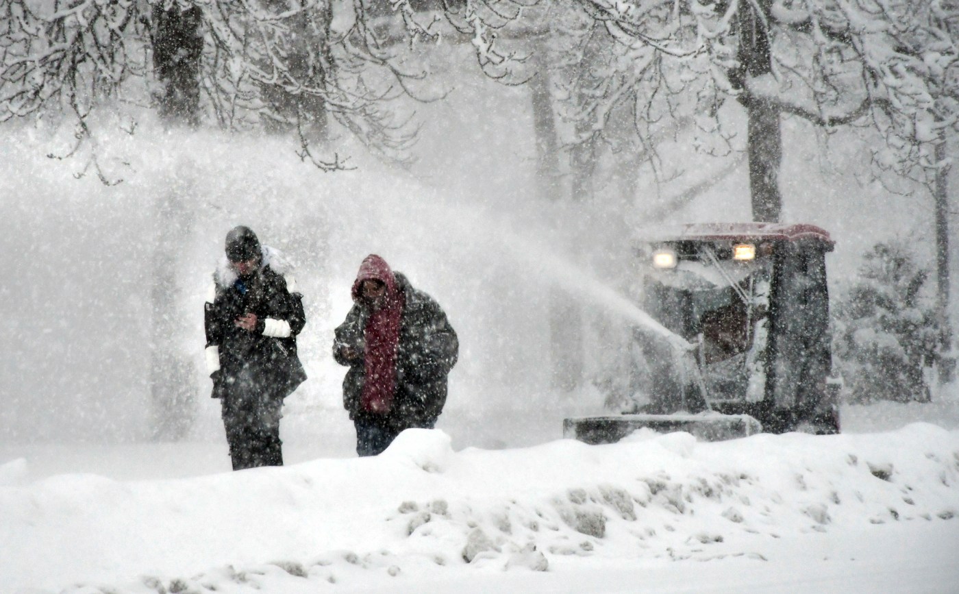
Heavy snow over the weekend will give way to a fairly quiet Monday morning, effectively delivering the “calm” to go ahead of another storm forecast for midweek that has the National Weather Service concerned about flooding.
Some regions of Massachusetts were spared from too much snowfall, but others saw more than a foot and half of accumulation before the flakes stopped falling, and those regions, NWS meteorologist Torry Dooley said, are at risk of flooding Wednesday when a warm front enters the region.
“A lot of warmer air is going to usher in, changing snow to rain overnight into Wednesday,” Dooley said. “We’re going to have temperatures arriving into the 40s if not the low 50s for Wednesday. Our concern is that as snow melts, coupled with some pretty heavy rain — in the ballpark of one-and-a-half to two-inches of rain in some spots — could lead to flooding.”
Freezing temperatures overnight Sunday into Monday will likely cause snow still on the ground to harden, making it difficult to shovel, Dooley said. Daytime high temperatures near 34 degrees under sunny skies will fall under 20 degrees Monday night.
A slight chance of rain before 2 p.m. Tuesday — around 30% — becomes a slight chance of snow around 3 p.m. though, with high temps forecast in the low-40s, no additional accumulation is expected.
Overnight temps Tuesday into Wednesday stay above freezing as the warm front moves in and brings heavy rain after 10 p.m. Winds are forecast to blow at around 30 mph and gust upwards of 50 mph.
Rain should persist through noon on Wednesday, according to Dooley, and the wind keep gusting toward 50 mph with temps near 50 degrees.
Rain is expected to clear the region for Thursday and Friday, when the temperature is forecast to reach a high of 43 and wind calm to under 15 mph. Rain forecast for Friday evening and Saturday shouldn’t be nearly as impactful as the midweek storms, Dooley said.


