
NWS issues flood watch through Monday evening, with dry days to follow
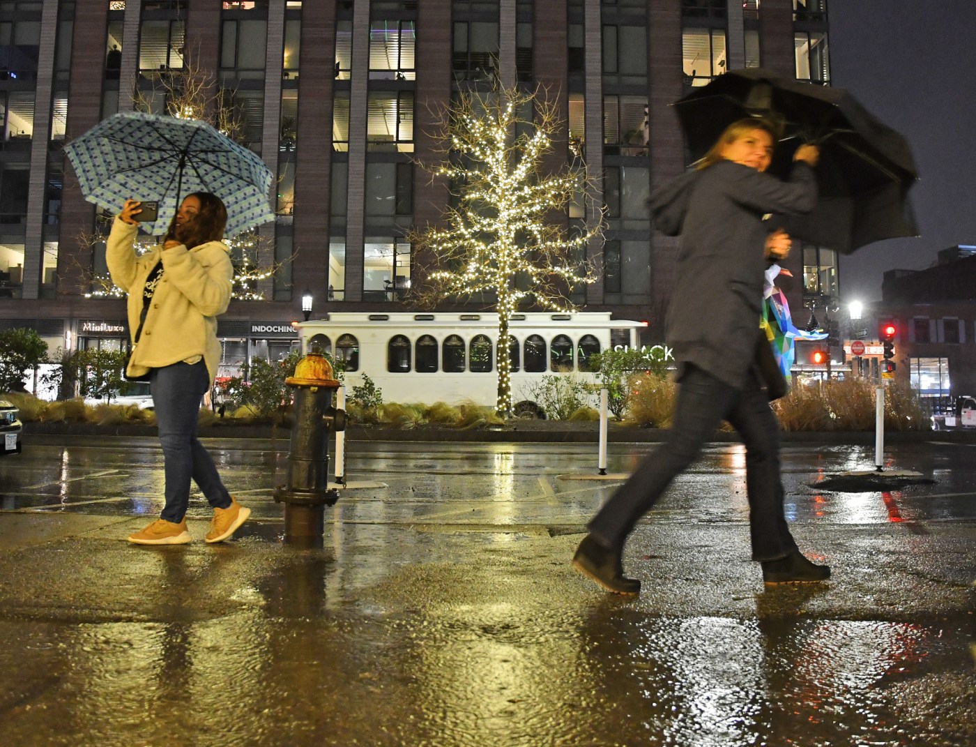
Rain overnight Sunday will persist through the morning and leave the region under a flood watch that lasts into Monday evening, according to the National Weather Service.
The otherwise dry work week will require a rain coat to start, with the potential for thunderstorms and wind strong enough to send inflatable holiday decorations tumbling, NWS Meteorologist Alan Dunham told the Herald.
“We do have a flood watch in effect through Monday evening because of the runoff from all the rain we’re going to get tonight and tomorrow morning,” Dunham said.
According to the weather service, the storm systems could leave more than two inches of rain behind and the wind could gust upwards of 45 mph at times, with stronger winds expected south of the city and around the Cape and islands. Any loose holiday decorations are at risk of being dislodged and should be secured if possible, Dunham said.
“But by afternoon it will become mostly sunny,” he said.
Despite the sun arriving after noon, temperatures on Monday will be warmest in the morning, coming off of a 47-degree low overnight Sunday. By midafternoon temperatures will fall to the lower-40s and fall further overnight, to below freezing.
The sunny weather should stick around all day Tuesday and the gusty wind depart, Dunham said, leaving seasonable low-40s temperatures. Freezing temps are expected to return overnight under mostly clear skies.
A “dry, cold front” begins to sweep into the area on Wednesday, Dunham said, though daytime temperatures should make it into the low to mid 40s through much of the region. Overnight Wednesday into Thursday temperatures will drop considerably, into the lower 20s.
After a very chilly start, Thursday isn’t expected to warm much above freezing, according to the weather service, and temperatures will top out in the middle 30s before dropping back into the low to mid-20s overnight.
“It is December, remember,” Dunham said.
Warmer weather could return for Friday and temperatures might even reach into the upper 40s in parts of Massachusetts, with sun predicted and winds below 15 mph, according to the weather service. Overnight temperatures might stay above the freezing mark.
Weekend weather, Dunham said, should be more of the same.
“Partly sunny skies with highs in the upper 40s,” he said. “Once we get through Monday morning we’re pretty much done with precipitation for the week.”


More Stories
Kardashian’s Skims fills empty Ted Baker flagship on Regent Street
A shop unit that sat empty after one of Britain’s best-known high street names collapsed has a new tenant, and...
Oil at $100 drives mortgage rates back to a month-old high
British business owners hoping the summer would bring cheaper borrowing have been dealt a blow. Average UK mortgage rates have...
Burnham opens No10 North, but the SME payoff waits until 2032
Andy Burnham chose Manchester for the defining image of his new premiership this week, opening a temporary “No10 North” and...
Record entries and 200 shortlisted: Britain’s small businesses defy the gloom at the UK’s flagship business awards
From a nine-generation family farm to a challenger radio station, the 2026 Lloyds British Business Excellence Awards shortlist tells a...
James May rejects wealth tax as millionaires beg Burnham to tax them
James May has become an unlikely dissenter in the row over taxing Britain’s richest, breaking with the 120 UK millionaires,...
Hardware is back: £14m backs a five-minute NHS lung test
A Cambridge start-up has pulled off something British hardware firms are rarely credited with: persuading investors to write a large...