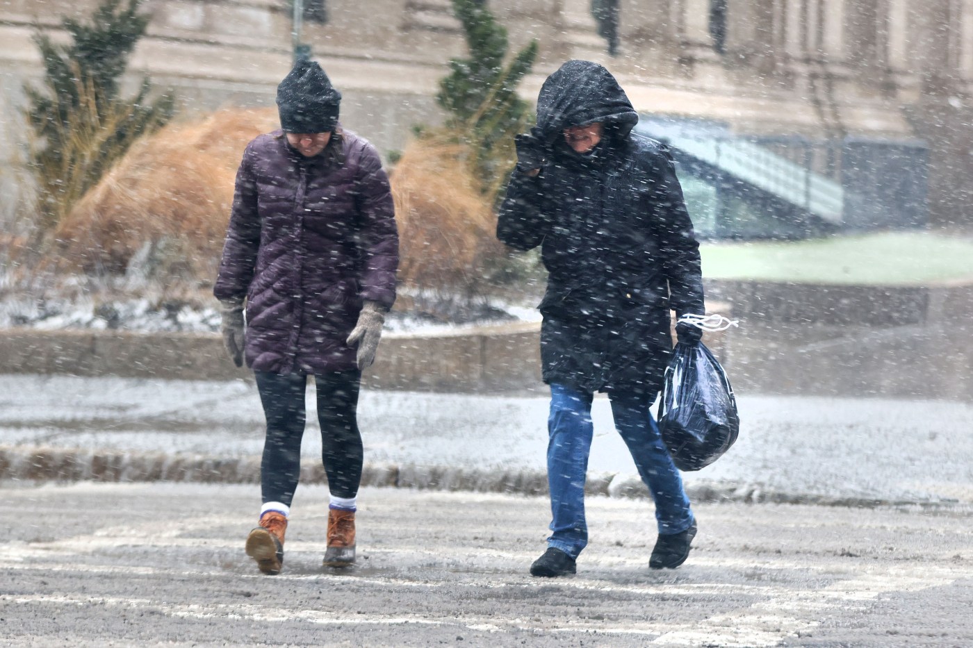
Winter weather outlook: Massachusetts may see 30 to 40 inches of snow
Following a record mild winter last year, Massachusetts may be in for another relatively mild but more snowy winter, as a likely La Nina system takes shape in the coming months, according to early forecasts.
“The October ENSO outlook calls for 60% chance of La Nina emerging in the September, October, November timeframe, and by November, December, January, the chance of La Nina increases to near 75%,” said Jon Gottschalck, NOAA Chief of the Operational Prediction Branch of the Climate Prediction Center, at a NOAA winter weather forecast presentation Thursday.
“High variability or frequent week to week changes are more likely this winter, as compared to more persistent or prolonged periods of consistent weather conditions,” the forecaster added.
La Nina winters are characterized by weather patterns stemming from unusually cold ocean temperatures in the Equatorial Pacific, as opposed to El Niño, which is characterized by unusually warm ocean temperatures in the Equatorial Pacific.
During the 2023-24 winter, a strong El Niño contributed to the warmest winter season on record for the contiguous U.S., according to NOAA. Eight states across the Upper Midwest, Great Lakes and Northeast, including New York, Vermont, New Hampshire, recorded their warmest winters last year.
“For you guys in the northeast, across Mid Atlantic, the Ohio Valley, and back to the South and West — overall, looks like another mild winter for the most part,” said Paul Pastelok, AccuWeather lead long range forecaster. “The difference is, I think there’s a little bit more back and forth in the start of the winter season.”
Massachusetts had a warmer and less snowy 2023-24 winter. The Boston region saw only 9.8 inches of snow, setting the record for the third lightest winter snowfall on record after 1936-37 and 2011-12. The average Boston snowfall is 49.2 inches, Pastelok said.
Boston is likely to see more snowfall this year, but remain below the average, at 30 to 40 inches of snow predicted, according to AccuWeather. The snowfall may end up closer to the low range, Pastelok said, if the region gets more “mixing events” with snow and rain.
“It doesn’t look like one of those big years yet at this point, not many big nor’easters coming up from the south,” said Pastelok. “It’s just more what you get in typical La Nina patterns: storms coming around and cutting up and coming in West to East, and fast moving systems.”
The “wrinkle,” Pastelok said, may be the warmer water temperatures in the Pacific. If the warmer water shifts to the West coast or the polar vortex gets pushed down, he added, the region could see a “surge” of snow late in the season.
Related Articles
Recent hurricanes highlight importance of trip protection
Many schools are still closed weeks after Hurricane Helene. Teachers worry about long-term impact
Massachusetts teams joins hurricane relief efforts in North Carolina, Florida
Bundle up: Boston in for a cooler week
FACT FOCUS: A look at the false information around Hurricanes Helene and Milton
Across the U.S., NOAA predicts warmer than average temperatures in the southern tier of the U.S. to the eastern Great Lakes, eastern seaboard, New England and northern Alaska, and probable colder swings in southern Alaska and Pacific Northwest to the northern High Plains.
The Great Lakes states, northern and western Alaska, the Pacific Northwest and across the northern tier of the U.S are expected to see wetter-than-average temperatures, NOAA forecasted. Forecasts show states bordering the Gulf of Mexico, Texas and southern New Mexico with probable drier conditions.
NOAA forecasters noted the winter forecast is “probabilistic” at this point, meaning other outcomes are possible but less likely.


