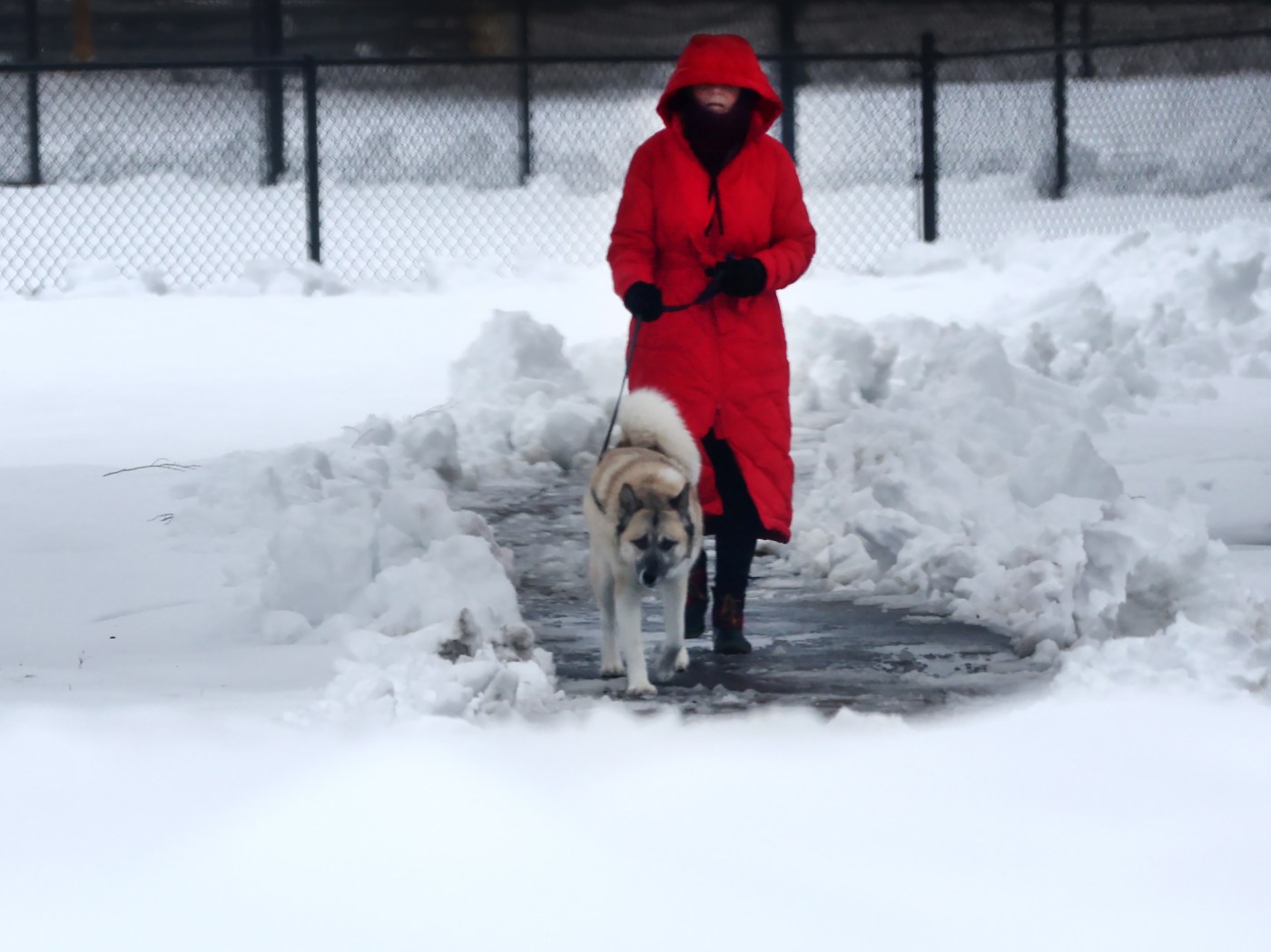
Strong winds, more snow expected after weekend storm hit
The weekend’s wet wintry mix resulted in mandatory speed restrictions on the Mass Pike and led to hundreds of crashes, according to MassDOT, and weather forecasters say there may be more snow coming in the days ahead.
Snow storms from Saturday night into Sunday left the region covered in a fresh blanket of frozen precipitation, adding to the inches retained across several cold days following last Thursday’s snow, and it’s all a recipe for dangerous driving conditions and more accidents.
Luckily the last three weekends haven’t seen any road fatalities due to wintery weather, but this weekend’s storm resulted in a remarkable jump in the number of crashes, according to statistics shared by the State Police.
The first weekend in February saw 223 crashes, and police assisted 185 stuck motorists, while the following Saturday and Sunday saw 186 crashes and 152 stranded drivers.
By midday Sunday there were 414 crashes reported statewide, and 321 people found themselves in need of assistance, according to the state police.
That compares to 223 crashes, and 185 stuck motorists during the first weekend in February, and 186 crashes and 152 stranded drivers last weekend, the state police said.
The weather was bad enough that MassDOT dropped the speed limit on the pike and forbid tandem trucks from the road.
“For the safety of motorists, officials have reduced the speed limit on the Mass Pike to 40 MPH,” a state police spokesman explained.
According to National Weather Service Meteorologist Caitlyn Mensch, the Bay State has seen 28.1 inches of snow since the start of this winter season. That’s just 4.7 inches below the Boston area’s yearly snowfall average. And the show isn’t over yet.
“With these types of coastal storms, it’s hard to pin down in our modelling and it still looks like we have quite a bit of uncertainty,” she said. “But it looks like from Wednesday night to Thursday time frame we may see some precipitation, and it should be cold enough for snow.”
How much snow is coming will be hard to say until closer to the middle of the week, according to Mensch, but the system percolating over the Atlantic has even potential of lingering in the region or moving along, she said.
“This has a huge impact on where we see snow and how much,” she said.
Even if it’s not expected to snow for Monday’s federal holiday, it will be incredibly windy, Mensch warned. The weekend storm system that left the roads covered is also pulling fast moving air from higher up and pushing it toward the ground, she said.
“These are winds that you typically only see well above our head,” she said.
According to the weather service, the wind overnight into Monday morning could gust upwards of 48 mph, and during the day the wind could gust to 55 mph. Monday’s temperature is forecast to top out around 27 degrees.
The moral of the story, according to Mensch, is “don’t put your trash cans out too early.”
The wind should die down somewhat by Tuesday, when the high temperature is expected to be around 24 and gusts down to the mid-30 mph range.
Temperatures could climb toward 30 on Wednesday, with snowfall possible by night time. Snow is forecast as “likely” on Thursday, with a 60% chance of precipitation and a high around 29 degrees.
A building collapsed on Vernon Street in Brookline after the structure failed under the weight of Sunday’s snow and rain. (Nancy Lane/Boston Herald)
Jamaica Plain resident Emily Kneeland shovels the sidewalk in front of her home during Sunday’s freezing rain. (Libby O’Neill/Boston Herald)


