
Will a monster nor’easter hit Massachusetts this weekend? There are ‘a lot of moving parts’
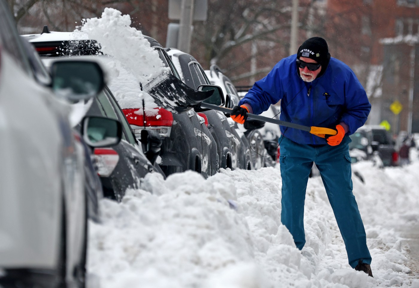
Say it ain’t snow!
Local meteorologists are closely tracking a possible late-weekend nor’easter — one that has already generated quite a bit of buzz given the recent whopper of a snow storm.
Forecast models are showing a coastal storm off the East Coast this upcoming weekend, but there’s plenty of uncertainty in the track, which is normal for several days out.
There are three scenarios for the system: a large nor’easter that hits most of southern New England; a fringe impact for southeastern Massachusetts and the Cape and Islands; or a track that stays well out to sea.
“At the moment, we’re seeing a lot of spread in the models,” National Weather Service Boston meteorologist Francis Tarasiewicz told the Herald on Tuesday.
“There are a lot of moving parts to this,” he added. “So unfortunately for right now, pinning down the exact track for the storm is proving to be difficult. There should be more confidence mid to late week as it comes into a better alignment.”
Unlike the recent storm that dumped a couple feet of snow, this system looks like it could strengthen very quickly and have strong winds.
“The major question will be how close to the coast does it get,” Tarasiewicz said.
Forecast models are showing moderate probabilities for wind gusts greater than 40 mph across the waters and southeast coastal areas.
Related Articles
Police Blotter: Boston EMS warns caution while removing snow
Woman killed by plow in Norwood; injuries reported in dozen crashes
Space-saver season returns to Boston
Massive snowstorm continues Monday across Massachusetts
‘Please stay off the roads:’ Healey warns residents as snow storm hits Massachusetts
Astronomical tides also look higher than this past storm with Boston at 11 feet and Nantucket around 4 feet for the Sunday morning high tide, so there’s the potential for coastal flooding.
“We are 5-6 days out still, so there is plenty of uncertainty and we expect to see continued spread and changes from run to run over the next few days,” NWS Boston wrote. “The important thing is to not stay locked in on a solution, especially this far out. This is best seen from a view, leveraging the full range of possibilities. As we go through the week, ensembles should begin to converge on more likely solutions/scenarios which will be messaged accordingly alongside the other potential (lower probability) scenarios.”
Ahead of the weekend, arctic air will remain entrenched across the region this week, with potentially hazardous wind chills Thursday night into Friday.
Highs through Thursday will be in the teens to lower 20s, with lows mostly in the single digits, while overnight and morning wind chills will be below zero.
“In fact we may see widespread below zero temps late Fri night and early Sat,” NWS Boston added. “The potential exists for dangerously cold wind chills which will likely require cold weather headlines from Thu night and Fri night.”


More Stories
‘I’m praying they get policy right’: Dimon puts Burnham on notice
Jamie Dimon has handed Andy Burnham’s day-old government both a vote of confidence and a warning shot. The JP Morgan...
Farmers to Burnham: you said the family farm tax ‘needs looking at again’
Andy Burnham has been in Downing Street for barely a day, and rural Britain has already presented him with his...
Definitely maybe: what PM Andy Burnham means for British business
I went to the Hacienda exactly once, in the early nineties, a Londoner up for the weekend who queued for...
Why Your Team Is Your Most Underused Marketing Channel on LinkedIn
A mid-sized company can spend months perfecting a LinkedIn page that a few hundred people follow, while the audience it...
Visa turns to Rightcharge as 73% of fleet charging moves home
British EV charging specialist Rightcharge has been certified as Visa’s only recommended home charging reimbursement partner in Europe, a tie-up...
Searches for ‘VAT definition’ leap 23% as filing deadline looms
Britain’s business owners are quietly Googling their way through VAT season. Searches for “VAT definition” have jumped 23 per cent...