Break out the pumpkin spice: Massachusetts in store for pleasant, fall-like conditions
It’s apparently already that time of year, so grab a flannel and… does anyone smell pumpkin spice?
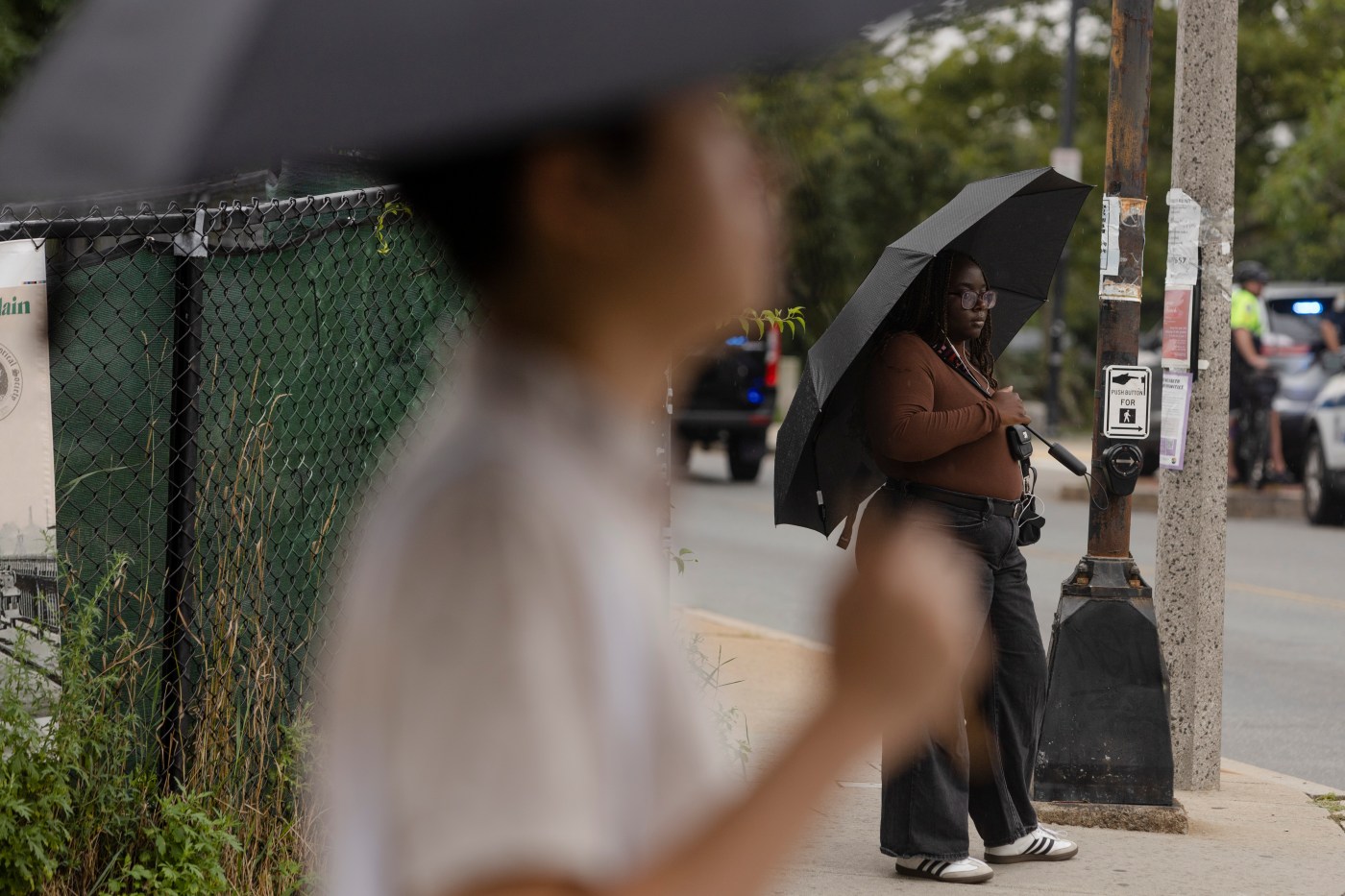
A “poorly predicted” storm that parked itself on top of Connecticut over the weekend and left our New England neighbors to the south soaked under several inches of rain will make its debut in the Hub on Monday before leaving cool, early-autumn weather in its wake, according to the National Weather Service.
While the rainfall isn’t currently predicted to hammer Boston nearly as hard as it hit Hartford County on Sunday, NWS Meteorologist Kristi Smith said it’s best for people to be aware that significant rainfall is possible.
“Just have a heightened awareness,” she told the Herald on Sunday.
Smith said that as she was speaking, she was monitoring a cold front leaving Pennsylvania and the Great Lakes region that was pushing wet weather in front of it. The rain, she said, had stalled over northern Connecticut but would continue north eventually, leaving Greater Boston wet to start the week.
According to NWS forecasts, there is an 80% chance of rain and thunderstorms in Greater Boston through most of Monday, with a predicted high near 75 degrees. The weather service is currently calling for no more than a half an inch of rain, but Smith said they weren’t expecting much rain in Connecticut on Sunday either.
“Parts of Connecticut saw over six inches of rain. Boston was lucky to be spared the worst of that and the flooding associated with it today, but we do expect more widespread rain and some isolated thunderstorms tomorrow,” she said.
Rain storms could carry through into Tuesday morning, Smith said, but when they leave they’ll go with a sort of autumnal “whoosh” that brings in dry weather and fall-like conditions.
“Early fall: with temperatures actually in the high sixties, low seventies,” she said. “Rain chances fall off significantly on Tuesday.”
Similar September-like conditions are expected through Wednesday and Thursday, she said, with more predicted highs in the upper 60s or low 70s, overnight lows in the upper 50s, and mostly clear skies throughout.
Late summer returns for Friday, Smith said, with temperatures creeping up toward 80 degrees and plenty of sun.
Related Articles
‘Dangerous’ rip currents forecasted along Massachusetts beaches as Hurricane Ernesto passes offshore
Ernesto tracking close enough to Massachusetts to spark rough surf, ‘dangerous’ rip currents
‘Nice’ sunny weather in Boston forecast, ‘dangerous rip currents’ may threaten towards weekend
Massachusetts could get pounded by several inches of rain from Debby: ‘The cone tracking right over New England’
More rain, cooler weather ahead
“Very unsettled for the first couple of days, and then much more pleasant to round out the workweek,” she said.
As of now, NWS forecasts show a sunny weekend with highs in the upper 80s and lows in the 60s.

