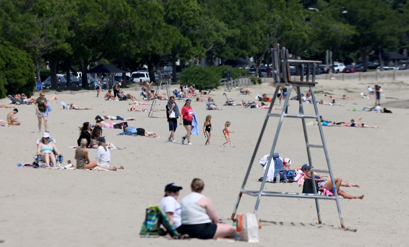
‘Heat dome’ high-pressure system could bring record breaking temps to Northeast
The region will be trapped under a “heat dome” this week that could bring dangerously high temperatures and even record warm low temps, according to the National Weather Service.
A high pressure system will settle over Massachusetts in the coming days that will keep the region free of clouds and rain through the end of the week, NWS Meteorologist Bill Leatham told the Herald.
The clear skies and trapped ambient humidity will allow the temperature to climb as the system stagnates, meaning some regions could see multiple record breaking high temperatures days and potentially some record-high lows, the meteorologist said.
Leatham said such a system is entirely normal for the region at this time of the year, but “the difference between this system and a typical high pressure system, sometimes they move through kind of quickly, but in this instance it sticks around for a couple of days” which “helps trap in the heat and humidity that it’s over our area.”
“Because it continues to stay nice and dry, you continue to see the temperature rise as the week goes on,” he said.
The heat could get so bad for residents of the Merrimack and Connecticut River Valleys that the weather service has already issued an “Excessive Heat Warning” running from Tuesday afternoon through Friday evening and warning of “dangerously hot conditions with heat index values up to 106 possible.”
A heat warning hasn’t been issued for Boston — yet — Leatham said, because the ocean breeze may keep the city cooler than the surrounding region, but that may change as the system settles, he said.
Leatham said that anyone planning to be outside in the heat would do well to prepare in advance for extremely hot weather and drink plenty of water ahead of and while engaging in outside activity. Heat injuries, like heat exhaustion and heat stroke, are possible in these weather conditions, he said.
“The big thing that folks should focus on for this upcoming week: it does look like we’ll have some days — generally in the Tuesday through Friday timeframe — where the heat is going to be dangerous,” he said. “What we mean by that, is if you are outside for extended periods of time, if you are not hydrated and staying cool, you are really going to increase the risk of heat stroke or heat exhaustion if your outside and exerting yourself.”
Temperatures Monday are expected to top out in the middle 80s regionally, under partly cloudy skies, according to the weather service.
The high pressure system will arrive Tuesday, and by the afternoon temperatures will be well into the middle 90s under clear blue skies, Leatham said. The pressure holds that heat in overnight, he said, meaning that Tuesday into Wednesday it could stay above 70 regionally.
Wednesday, the day of the Juneteenth federal holiday, will be sunny and hot, with temperatures pushing toward the upper nineties but feeling much hotter. Overnight lows could break records for staying as high as the middle or upper 70s, according to the weather service.
On Thursday temperatures are forecast to break 100 degrees despite some clouds rolling in. Temperatures are forecast to again stay over 75 degrees through the night.
There is currently some chance of rain on Friday as the high pressure moves out of the region, but the rain won’t bring the temperature below the middle 90s, according to the weather service, and current modeling shows rain is possible both Saturday and Sunday.
A boy cools off at a fountain outside Wrigley Field before a baseball game between the Chicago Cubs and St. Louis Cardinals Sunday. The heat wave over the rest of the county is due to move east and arrive in Massachusetts Tuesday. (AP Photo/Nam Y. Huh)


